About
Aerial experience, rooted in northern Minnesota.
Minnesota Drone is a commercial aerial studio based in Bemidji. The practice was built across the country and is now focused on the lakes, working properties, and businesses of northern Minnesota.
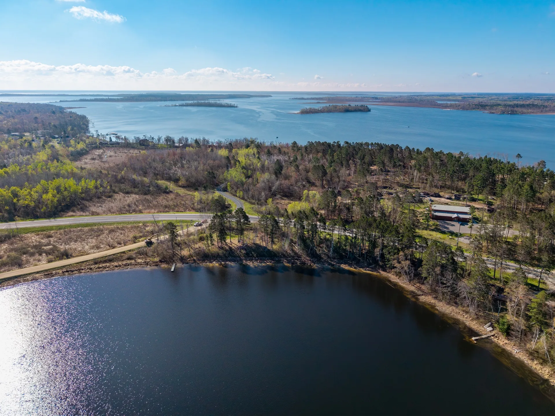
How we got here
Six years and more than 200+ commercial projects have taken the work from the active berths of the Port of Los Angeles to remote Alaskan wilderness. That experience matters here in the planning, judgment, and standards behind every flight. The work is grounded in northern Minnesota: its weather, seasonal light, properties, and people.
What we do
Aerial photo, video, and site documentation for businesses and property owners across northern Minnesota. We focus on visual storytelling and clean documentation, not survey-grade measurement, thermal analysis, or LiDAR. Every project starts with a conversation about what the imagery is actually for.
Where we focus
We are built for imagery that helps people understand, market, document, or remember a place. Survey-grade measurement, thermal analysis, LiDAR, and high-volume listing packages call for another specialist. Staying focused means every project gets the care it deserves.
Why northern Minnesota
Because we live up here, work up here, and know what it looks like. The lake light at sunrise, the way fall color reads from the air, the difference between a Brainerd Lakes lakefront and a Park Rapids resort cluster, the right altitude for capturing a working construction site versus a finished commercial property. The local context is the work.
How it comes together
From first note to finished imagery.
-
Start with a note
Tell us what you have in mind. You do not need a finished brief to get the conversation started.
-
Make a clear plan
We look at the place, timing, and purpose for the imagery, then recommend an approach that fits.
-
Choose the right window
When the plan is set, we watch the weather and light, make the work, and deliver it organized for use.
How we work
-
Weather and light that serve the work
We plan around the conditions that make a place look and feel right. When a better window is needed, we will say so.
-
A focused aerial practice
We work where visual storytelling and useful documentation overlap. Survey, thermal, and LiDAR needs deserve another specialist.
-
Local airspace and conditions
Bemidji, Brainerd, Park Rapids, Duluth: controlled airspace, lake-effect weather, the working calendar of a tourism economy. We know the region.
-
Organized delivery, ready to use
Most one-time projects are delivered within five business days, in clear folders with consistent naming and files sized for web, social, and ads.
Get in touch
Have a project in mind?
Share a few details about what you have in mind. We'll respond with a recommended package, a timeline, and a clear quote.