Services
Aerial work for the places people build, care for, and return to.
Every service begins with what you want people to see or understand. We make the aerial photo, video, and documentation that helps them get there.
Services
Show the whole picture.
Aerial photo, film, and documentation for the places people build, visit, and care for across northern Minnesota.
-
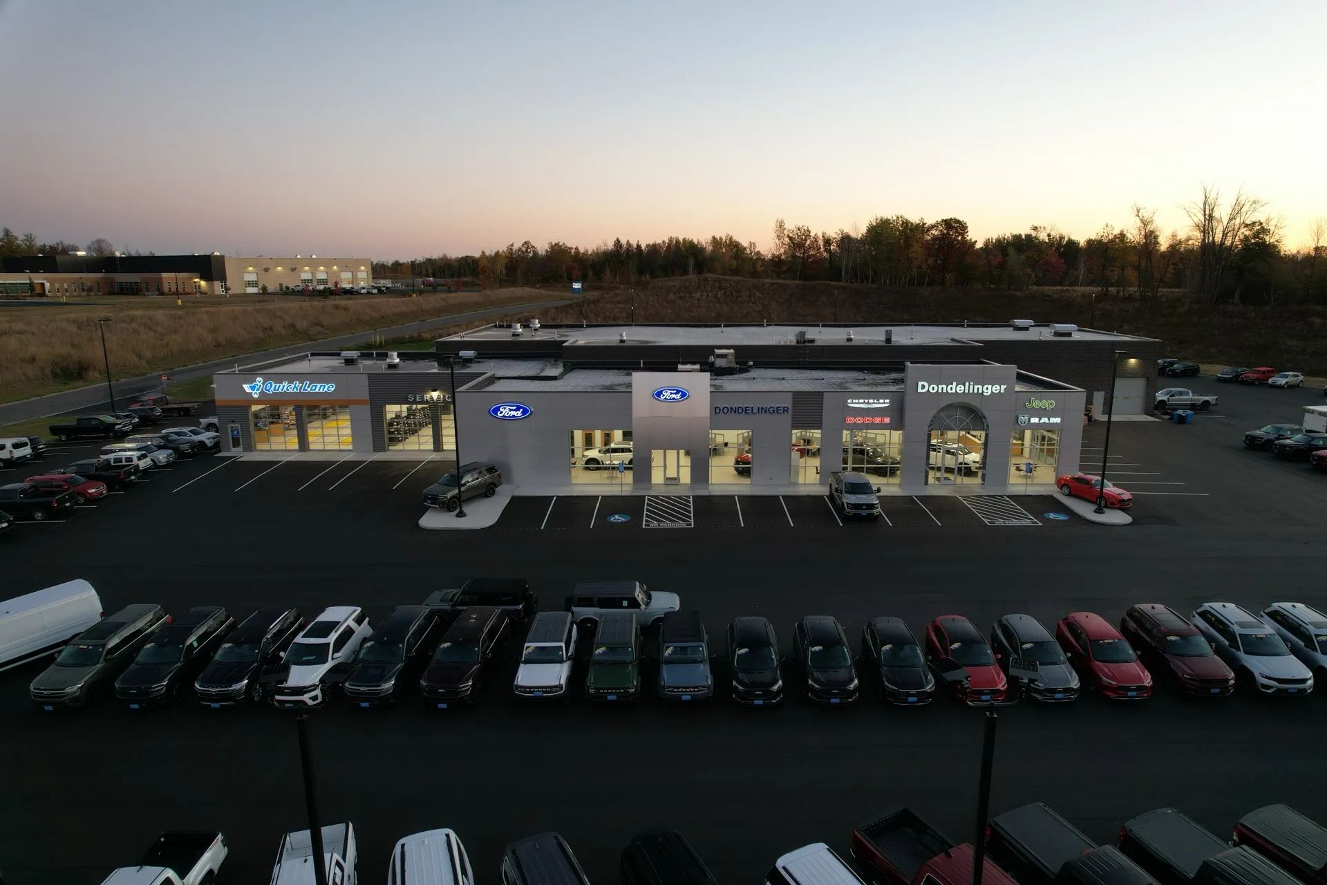
Commercial Aerial Photography
Premium photo and video for businesses that need stronger visual assets.
Explore -
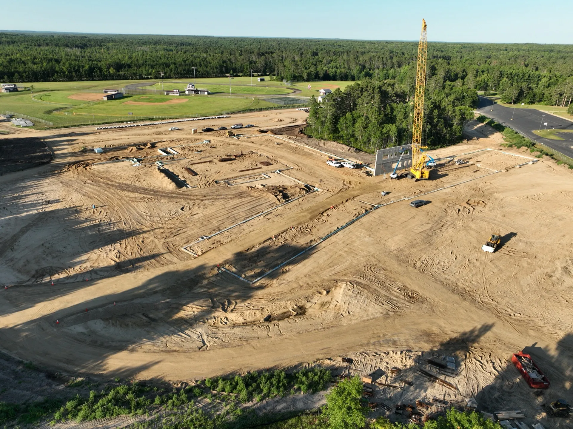
Construction Progress Documentation
Recurring aerial documentation for active job sites.
Explore -
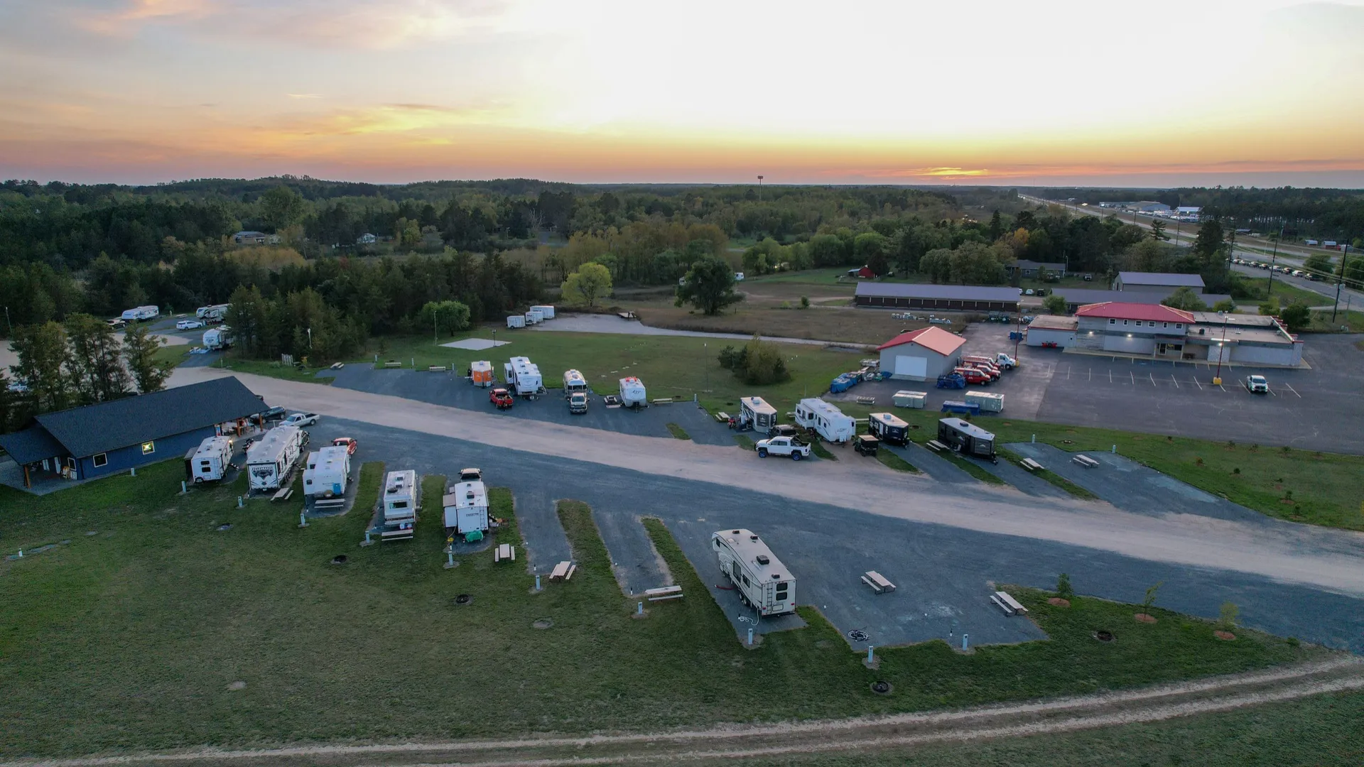
Resort & Tourism Aerials
Seasonal content libraries for lakefront properties and tourism businesses.
Explore -
Commercial Property Imagery
Aerial showcase imagery for commercial real estate.
Explore -
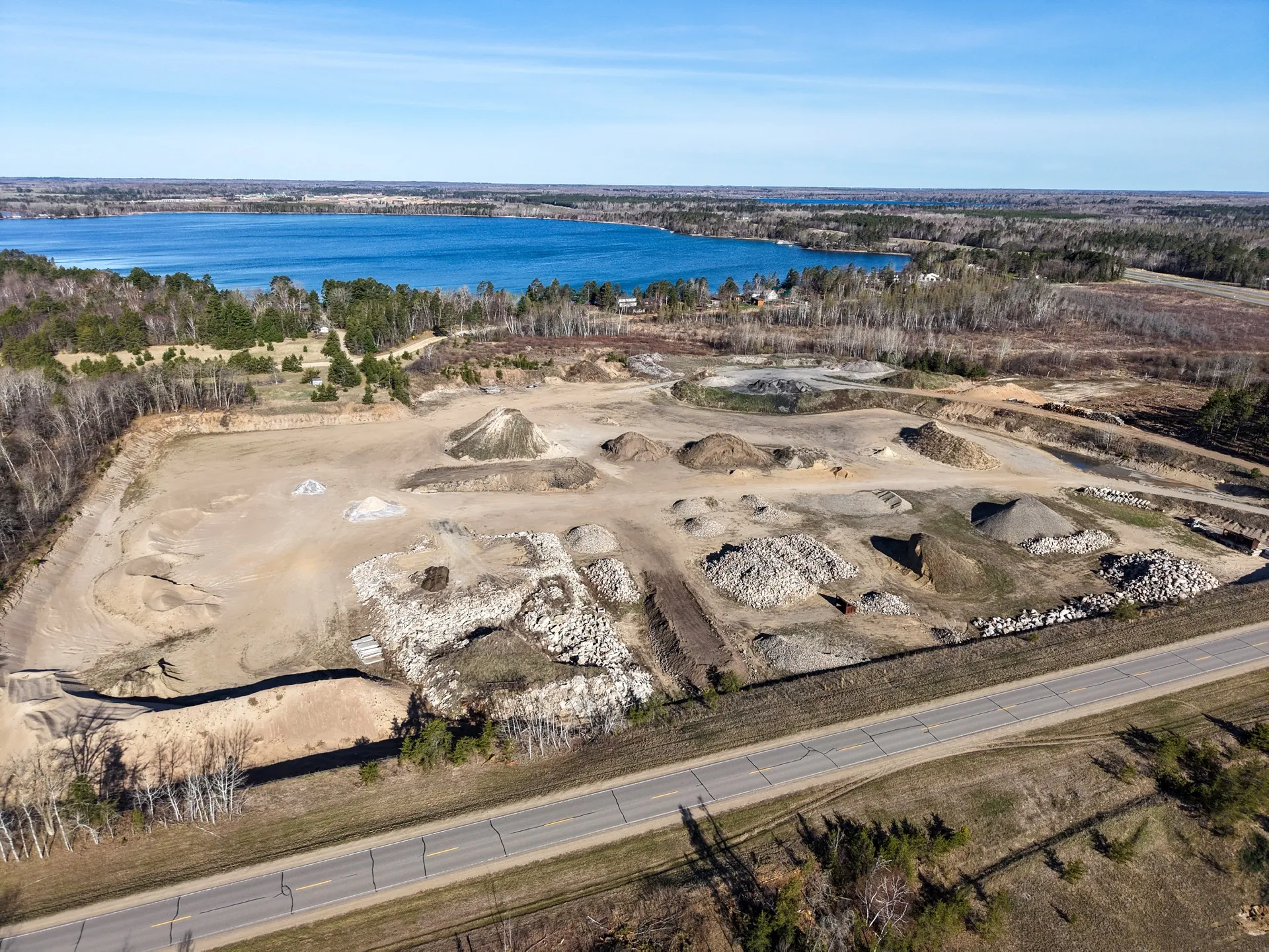
Site Documentation Imagery
Aerial site overviews and exterior documentation.
Explore -
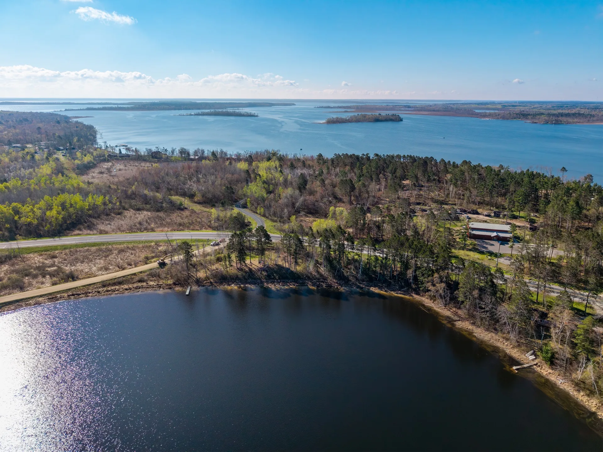
Premium Estate Package
Aerial portraits of lakefront estates and legacy properties.
Explore
Where we focus
Every project benefits from a clear purpose. We focus on aerial photo, film, and visual documentation that helps people understand, market, document, or remember a place. For survey-grade measurement, thermal inspection, LiDAR, or high-volume listing work, we are happy to point you to a specialist who is better equipped for it.
Get in touch
Tell us about your project.
Share a few details about what you have in mind. We'll respond with a recommended package, a timeline, and a clear quote.