Cass County / Leech Lake
Drone photography and video in Walker, Minnesota.
Leech Lake resort country, lakefront properties, and the Chippewa National Forest corridor.
About our work in Walker
Walker and the Leech Lake area host some of the strongest tourism and resort businesses in northern Minnesota. Aerial content for resort marketing, campground promotion, and lakefront property documentation.
The area
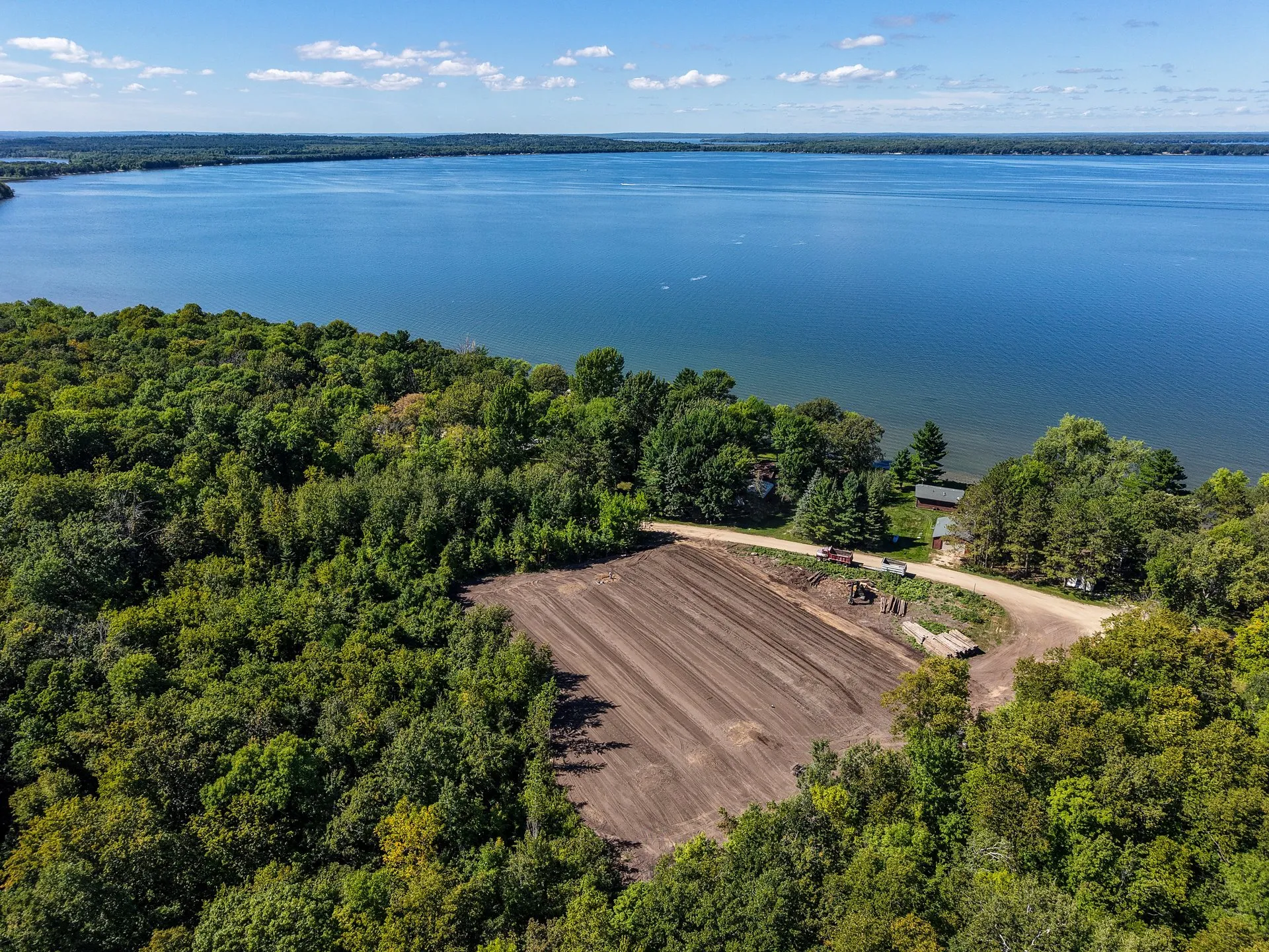
Walker is a small city on the southern shore of Leech Lake, the third-largest lake in Minnesota at nearly 112,000 acres. The lake is known nationally as a walleye fishery and draws significant fishing tourism alongside resort and cabin-rental visitors. The Chippewa National Forest surrounds much of the lake, creating the forest-and-water landscape that defines the area's visual character. Walker Bay is the most active commercial marina area.
Who we work with here
Walker's economy is almost entirely tourism-driven. Resorts, fishing lodges, boat rentals, and outfitters serve the summer and early fall visitor base. Campgrounds and RV parks represent a growing segment. Year-round residents support a small retail and services sector. The Leech Lake Band of Ojibwe has significant land and economic presence in Cass County.
Timing and seasons
Peak season runs Memorial Day through early October, with the heaviest traffic in June, July, and August. The walleye opener in May draws strong fishing traffic even before the full resort season begins. Fall color peaks in late September and early October. Booking content should be live before the walleye opener and well before summer reservation windows open in February and March.
Services available in Walker
- Commercial Aerial Photography Walker's commercial businesses — marinas, outfitters, restaurants, and lakefront retail — sit in a visually distinctive setting defined by Leech Lake. Aerial photography communicates the waterfront relationship and surrounding forest context that is the primary reason visitors choose the area. Walker Bay and the surrounding marina infrastructure photograph particularly well at late-day light.
- Construction Progress Documentation The Walker and Leech Lake area sees steady resort expansion and cabin renovation activity driven by the strong vacation property market. Contractors working on resort cabin additions, new shoreline construction, or commercial builds in the Walker business district benefit from aerial documentation for owner updates and project records.
- Resort & Tourism Aerials Walker and the Leech Lake corridor represent the single strongest resort market in our service area. The combination of a large, visually impressive lake, abundant fish, and a long-established tourism economy means resorts here compete against each other and against every other northern Minnesota lake for the same booking audience. Strong aerial imagery is one of the most effective differentiators. The scale of Leech Lake — nearly 112,000 acres — makes aerial coverage of any shoreline property particularly compelling.
- Commercial Property Imagery Walker's commercial real estate market is small but distinctive. Waterfront commercial properties along Walker Bay command strong values relative to the local market and benefit significantly from aerial imagery that communicates the lake relationship. Highway 371 corridor properties serve the drive-through tourist trade.
- Site Documentation Imagery Cass County contains a significant amount of lakeshore and forest land in various stages of development and transition. Shoreline lot documentation, camp and resort property mapping, and rural parcel coverage are common requests in the Walker area. The Chippewa National Forest boundary creates interesting documentation scenarios for properties adjacent to or near federal land.
- Premium Estate Package Aerial portraits of lakefront estates and legacy properties.
Working on a project in {area.city}?
Tell us about your Walker project.
Share a few details about the property, the goal, and the timeline. We respond within one business day with a recommended scope and a written quote.